HATFIELD McCOY TRAILS
Information About and Maps of The Hatfield McCoy Trail System

Coal Camp Lodging
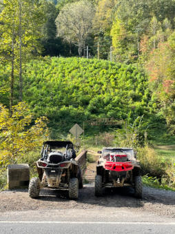
The Hatfield-McCoy Trail System derives its name from the West Virginia area where the world
famous Hatfield-McCoy Feud took place and where the Hatfield-McCoy Trails are now located.
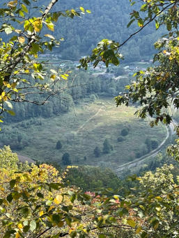
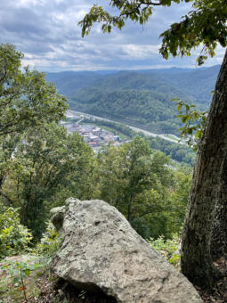
These trails are located on or near historical sites related to the Hatfield McCoy Feud, The Mine
Wars, Matewan West Virginia, Blair Mountain or the coal industry in West Virginia. The trails
consist of Buffalo Mountain, Devil Anse, Rockhouse, Bear Wallow, Pinnacle Creek, Warrior, Indian
Ridge Cabwaylingo trails.
We have personal experience with the Avenza App for Iphones and Apple tablets. Once you
download the maps and open up the map you want a blue dot will show where you are located
on the map. This makes it easy to always know where you are.
Avenza Maps For Hatfield McCoy Trail System
Click The Links Below For Maps Avenza App Hatfield McCoy West 4-in-1 Buffalo Mountain, Devil Anse, Rock House, Bearwallow Hatfield McCoy/ Spearhead Southern Maps - 5 in 1Maprika Maps For Hatfield McCoy Trail System
Maprika App Hatfield McCoy Buffalo Mountain/ Devil Anse/ Rockhouse HMT/ SH South 5-in-1 January 2021

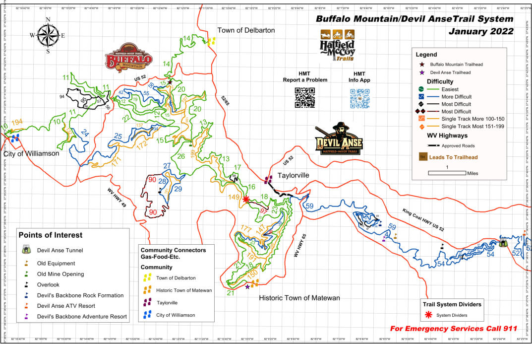
Buffalo Mountain and Devil Anse Trail System Map
Rockhouse and Devil Anse Trail System Map

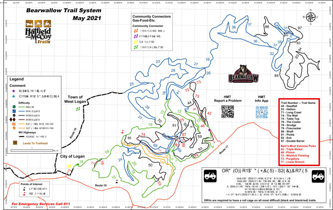
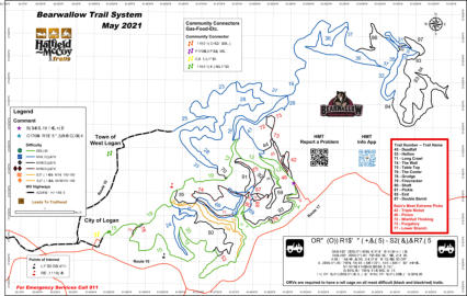
Bearwallow Trail System Map
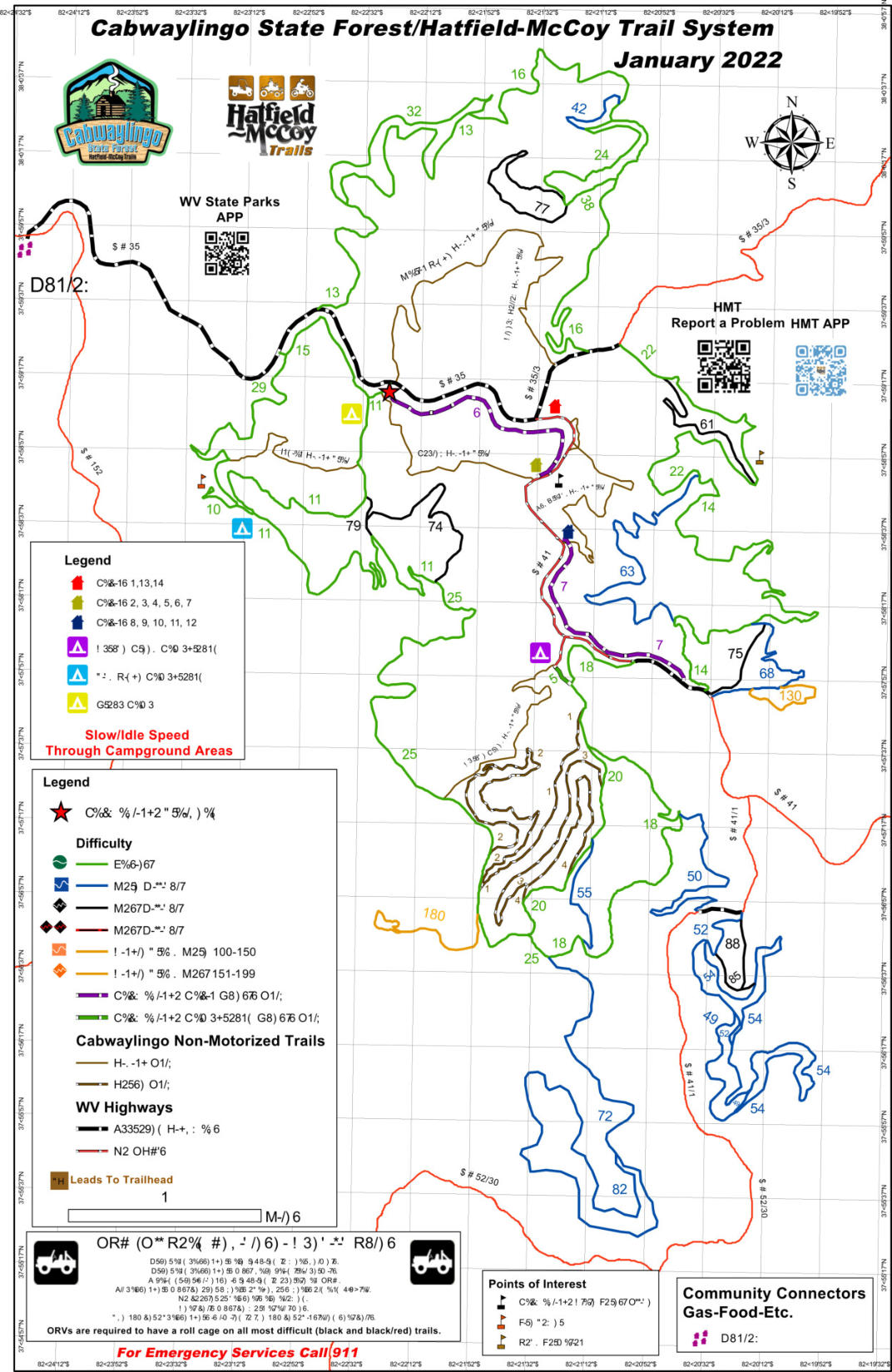
Cabwaylingo Trail System Map
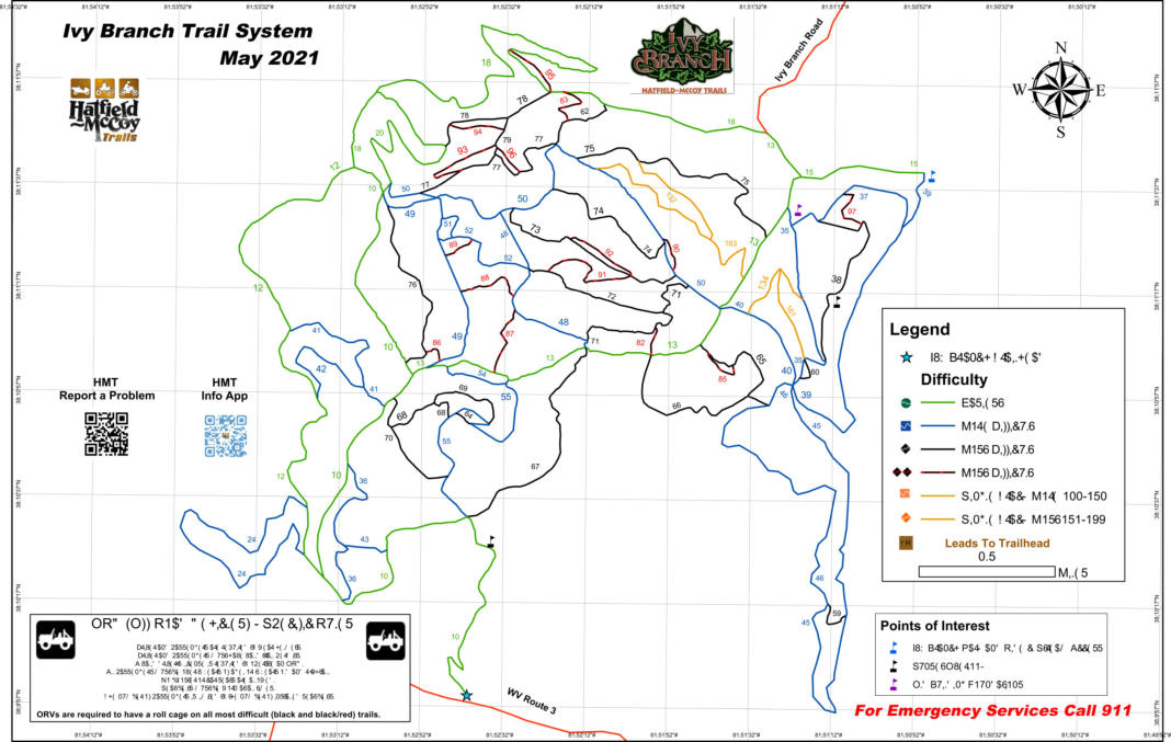
Ivy Branch Trail System Map
Pinnacle Creek Trail System Map


304-443-3147
coalcamplodging@gmail.com

CABIN RENTAL HATIELD MCCOY TRAILS
CABIN RENTAL DEVIL ANSE TRAILS
CABIN RENTAL BUFFALO MTN TRAILS
CABIN RENTAL ROCKHOUSE TRAILS
Directions Via
Google Maps
100 Coal Camp Dr.
Matewan W.V 25678
Directions Via
Vehicle GPS
110 Coal Camp Dr.
Matewan W.V. 25678
HATFIELD
McCOY TRAILS
Information About and Maps
of The Hatfield McCoy Trail
System

Directions Via
Google Maps
100 Coal Camp Dr.
Matewan West Virginia 25678
Directions Via
Vehicle GPS
110 Coal Camp Dr.
Matewan West Virginia 25678
Coal Camp Lodging
304-443-3147
coalcamplodging@gmail.com
The Hatfield-McCoy Trail System
derives its name from the West
Virginia area where the world
famous Hatfield-McCoy Feud took
place and where the Hatfield-
McCoy Trails are now located.
These trails are located on or
near historical sites related to the
Hatfield McCoy Feud, The Mine
Wars, Matewan West Virginia,
Blair Mountain or the coal
industry in West Virginia. The
trails consist of Buffalo Mountain,
Devil Anse, Rockhouse, Bear
Wallow, Pinnacle Creek, Warrior,
Indian Ridge Cabwaylingo trails.
We have personal experience
with the Avenza App for Iphones
and Apple tablets. Once you
download the maps and open up
the map you want a blue dot will
show where you are located on
the map. This makes it easy to
always know where you are.
Avenza Maps For Hatfield
McCoy Trail System
Click The Links Below For Maps Avenza App Hatfield McCoy West 4-in-1 Buffalo Mountain, Devil Anse, Rock House, Bearwallow Hatfield McCoy/ Spearhead Southern Maps - 5 in 1Maprika Maps For Hatfield
McCoy Trail System
Maprika App Hatfield McCoy Buffalo Mountain/ Devil Anse/ Rockhouse HMT/ SH South 5-in-1 January 2021

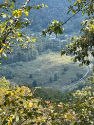
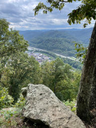
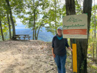
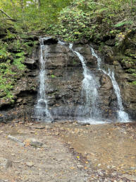

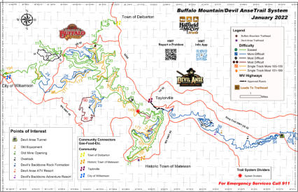
Buffalo Mountain and Devil Anse
Trail System Map
Rockhouse and Devil Anse
Trail System Map

Bearwallow Trail System Map
Cabwaylingo Trail System Map

Ivy Branch Trail System Map

Pinnacle Creek Trail System Map


304-443-3147
Call or Text


